

Seafloor geodetic observation to elucidate the mechanism of megathrust earthquakes
Seafloor geodetic observation by combining the Global Navigation Satellite System (GNSS) and underwater acoustic ranging technology enables the measurement of precise movements at seafloor benchmarks installed along the Japan Trench and the Nankai Trough. This will contribute to the elucidation of the mechanism of megathrust earthquakes that repeatedly occur along tectonic plate boundaries near Japan.
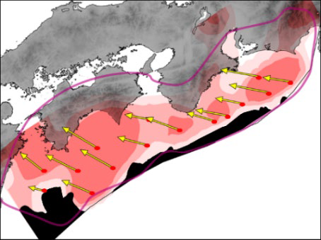
along the Nankai Trough1)
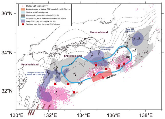
in the south of the Kii Channel2)
2) Yokota Y. and Ishikawa T., Shallow slow slip events along the Nankai Trough detected by GNSS-A. Science Advances, 6, 3 (2020) doi:10.1126/sciadv.aay5786
Realizing a safe ocean through research and development on seismic and volcanic activities in ocean areas
In preparation for the next imminent giant Great Nankai Trough Earthquake, JAMSTEC is contributing towards disaster-prevention and mitigation by enhancing predictions of crustal movements, and providing research results and data including those improving long-term evaluations of earthquakes to national government, etc. In order to obtain necessary observational and crustal structure data for estimation of interplate coupling and its time sequence, following research and development will be carried out:
- Deployment of ocean-bottom observation equipment to enable accurate and real-time observation of crustral movement in many areas.
- Development of earthquake generation model and advanced calculation method based on high-resolution three-dimensional seismic survey data obtained by R/V KAIMEI.
In addition, JAMSTEC will contribute to understanding current state and history of volcanic activities through the development of new ways of observation, surveys for internal structure of oceanic crust, sample analysis, etc. in ocean areas where conducting surveys was challenging in the past.
in the ocean crust
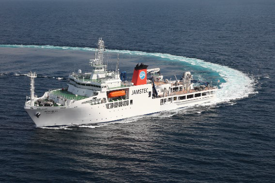
(courtesy of JAMSTEC)